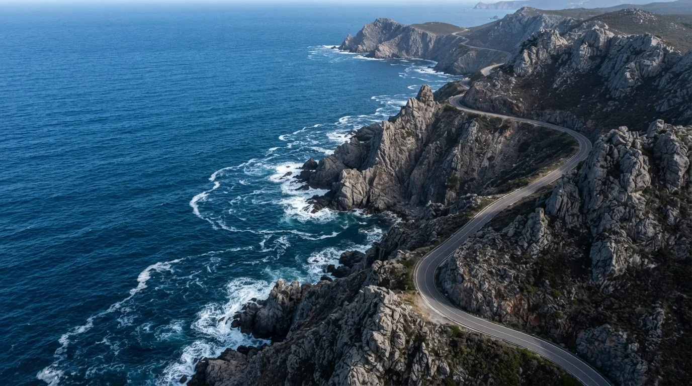
AERIAL CINEMATOGRAPHY · CUSTOM DRONE OPERATIONS
PERSPECTIVE
ELEVATED
Custom aerial videography and photography for film, brand, and industry. Every frame engineered from above.
SCROLL
/ CAPABILITIES
What we fly for.
01
Aerial Cinematography
Cinematic 8K aerial sequences for film, television, and commercial productions. Fully licensed and insured.
02
Photography
High-resolution nadir and oblique imagery for real estate, construction, and editorial campaigns.
03
3D Mapping & Survey
Photogrammetry, orthomosaics, and topographic 3D models with centimeter-grade accuracy.
04
FPV Cinematic
Dynamic first-person-view flying through tight spaces for jaw-dropping kinetic footage.
/ SELECTED WORK
The portfolio.
05 MISSIONS · 05 LOCATIONS
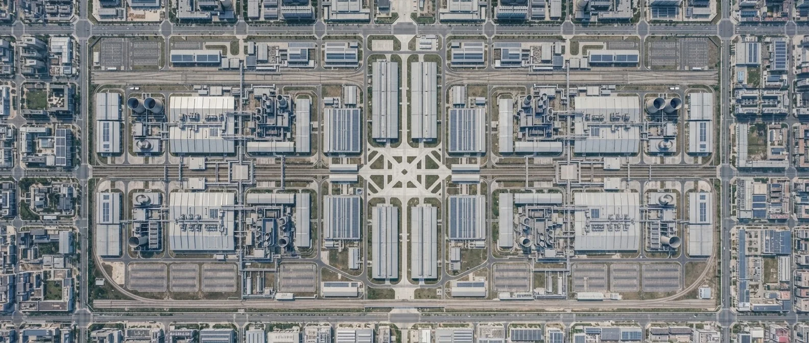
HAMBURG · DE
Industrial Symmetry
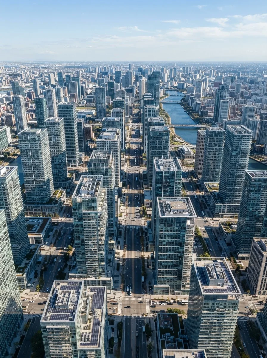
TOKYO · JP
Vertical Ascent
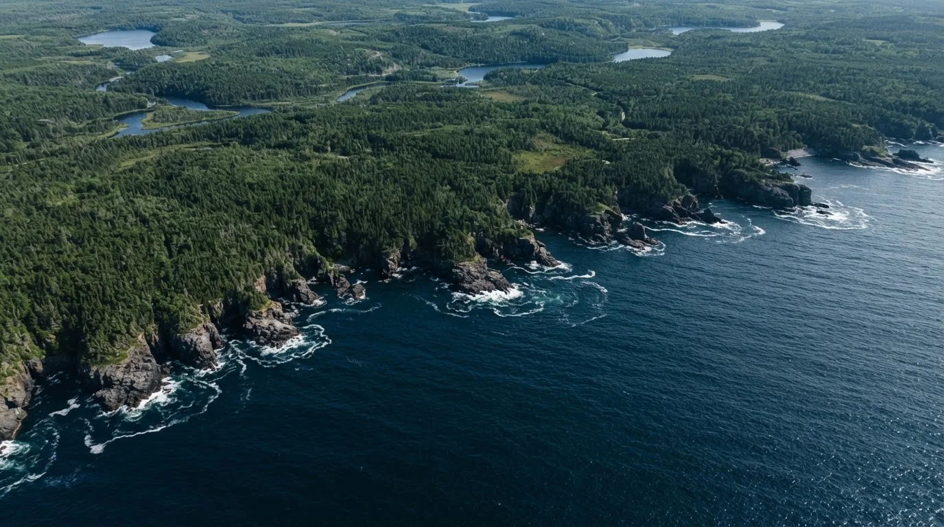
AMALFI · IT
Coastal Divide
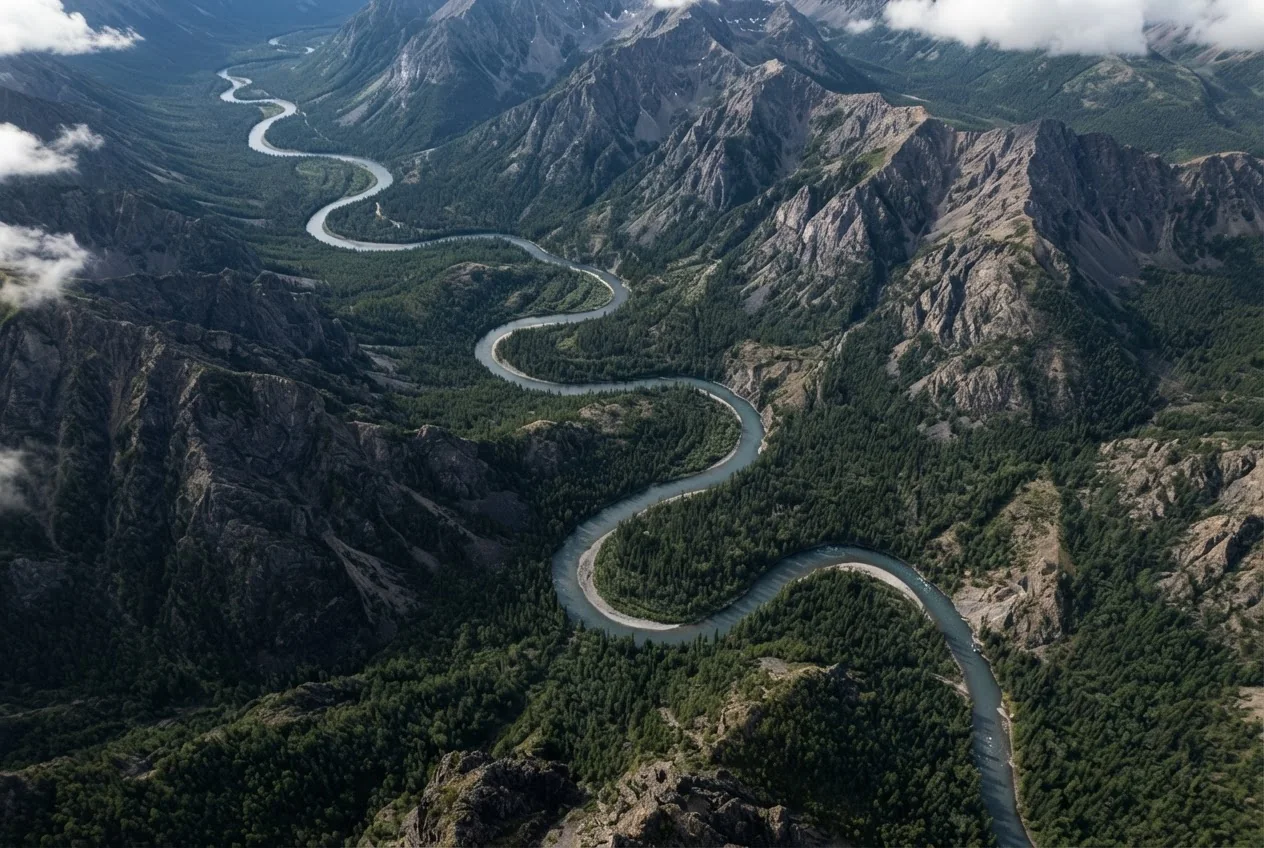
BANFF · CA
River Ridge
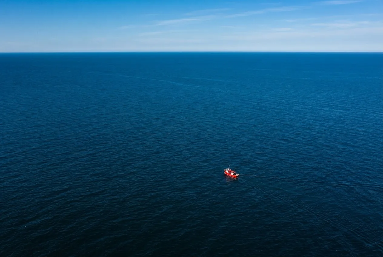
MALDIVES · MV
Lone Vessel
/ FLIGHT LOG
Numbers from above.
2.4M
Feet of altitude logged
Cumulative flight data
500+
Missions completed
Across 5 continents
48
Countries surveyed
Licensed & insured globally
99.2%
Mission success rate
Zero-incident protocol
/ PILOT ASSESSMENT
THINK YOU CAN
DO BETTER?
Try for a chance to win a discount. Fly the drone, dodge the obstacles, and earn a code based on your distance.
CRASH PERCENTAGE = DISCOUNT CODE · INCREMENTS OF 5%